LEHO®
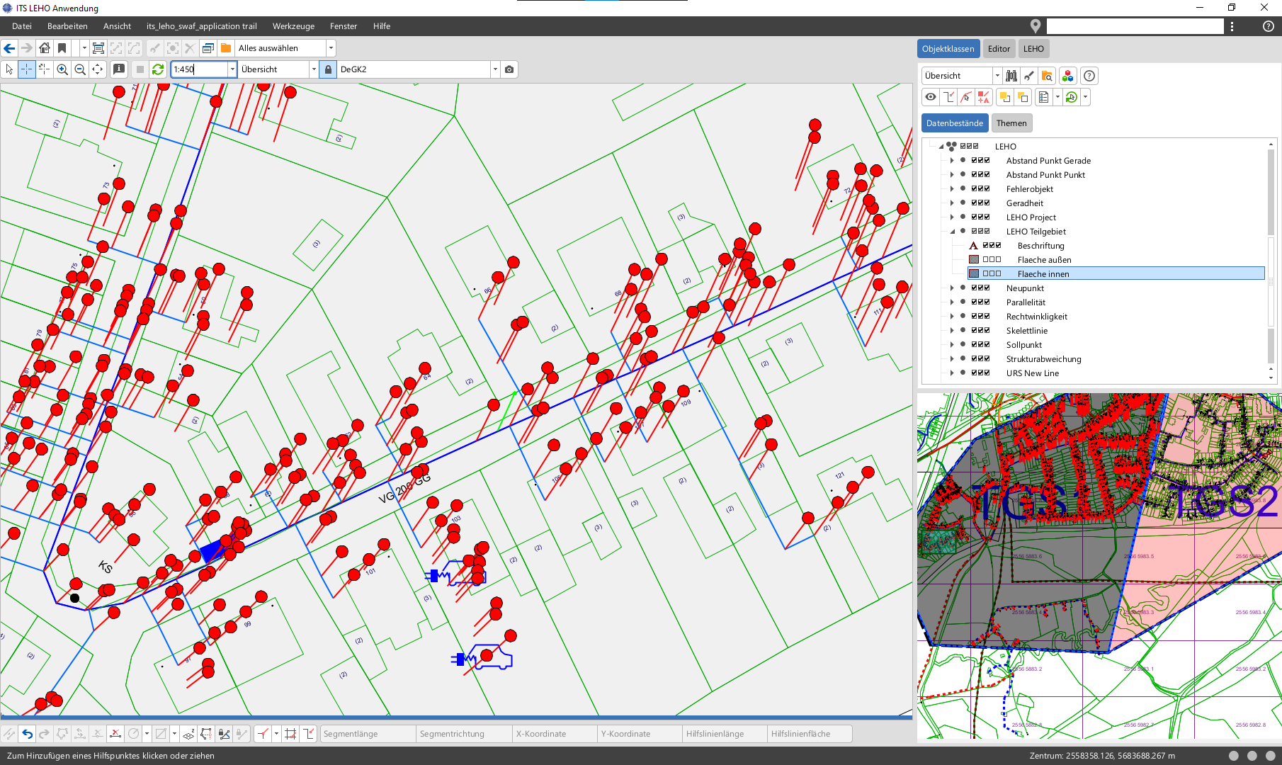
The ITS LEHO® product enables the automated re-alignment of an entire pipeline network, ensuring that the position of the infrastructure remains referenced to the base map when changes are made to the base map.
To document the location of utility networks, they are surveyed in relation to a base map. However, it may happen that the orientation of this base map changes or that a different base map is to be used as the reference. With the ITS LEHO® product, the utility network can then be automatically aligned with the new orientation of the base map.
- Automated alignment to new base map situations
- Maintenance of right-angle and straightness conditions
- Merging of different base maps
- Alignment of island maps (e.g. for planning)
- Switching from a raster base map to vector data
Additional information
| Systemvoraussetzung / System requirement | Smallworld 4.3.0.8, Smallworld 5.2.x, Smallworld 5.3.x |
|---|---|
| Sparten / Smallworld NRM | All utility data models (Smallworld NRM), NRM District Heating, NRM Electricity, NRM Gas, NRM Pipe Management, NRM Wastewater, NRM Water, Telecommunications |
| Hersteller / Manufacturer | ITS Informationstechnik Service |