
ProduCt Catalogue
Our extensive range of Smallworld products includes tools, applications and interfaces for virtually any purpose. If you can’t find what you’re looking for straight away, please feel free to contact us and we’ll find a suitable solution to meet your needs.
Search & Filter
3D Importer
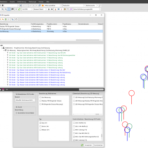
Use survey results directly in GIS: With the 3D Importer, you can easily and conveniently import and visualise survey data, including Z-values, in Smallworld GIS.Read more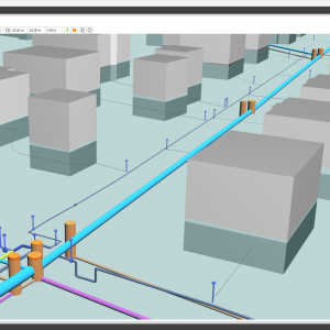
3D Network Model
Using the 3D network model, you can create and visualise a three-dimensional model of your network directly within Smallworld GIS, based on technical layer data and a digital terrain model, and navigate through it interactively. Visualising the actual location of...Read more
activity!manager
The GE Smallworld GIS component activity!manager enables the simple spatial management, planning and analysis of maintenance, design and construction projects.Read more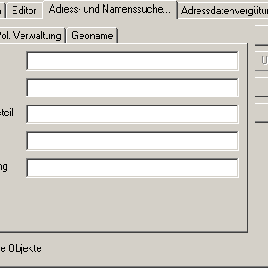
Addresses
Data model for mapping the Austrian address structureRead more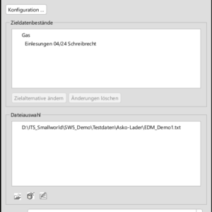
ASKO Loader
Using the ITS ASKO Loader product, GIS objects can be generated by importing ASCII coordinate lists through a simple configuration process.Read more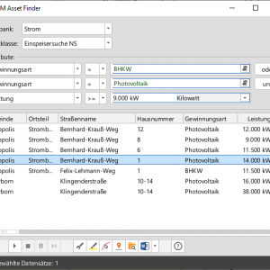
AssetFinder
With the help of the Asset Finder tool, searching for assets in Smallworld GIS has never been easier, whether you’re a casual user or a GIS expert.Read more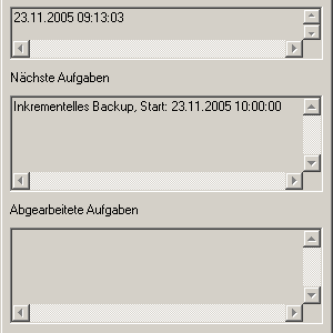
Automatisation
GT Automatisation enables the scheduled launch of any Magik functions, such as data synchronisation with third-party systems, quality assurance runs, plot generation, etc.Read more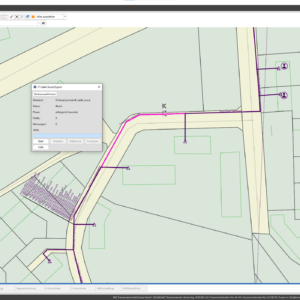
Cable Scout Interface
The ITS Cable-Scout Interface product is designed for companies that map the structure of their telecommunications networks in Cable-Scout and their locations in Smallworld GIS.Read more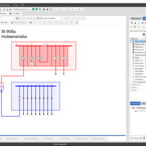
Circuit Diagram Generator
The ITS Circuit Diagram Generator product automatically generates the circuit diagrams required for power network documentation within Smallworld GIS. A circuit diagram is an internal representation of the equipment relevant to the network configuration, including that found in substations, distribution...Read more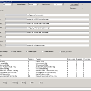
COMIT
Migration of data within a single Smallworld database or between different Smallworld databases.Read more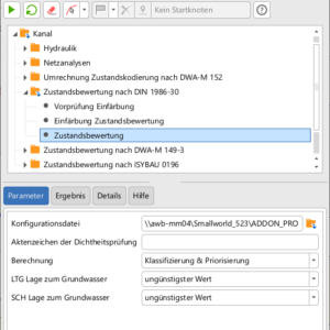
Condition Assessment Module in accordance with DIN 1986-30
The Condition Assessment module in accordance with DIN 1986-30 supports the classification and prioritisation of the structural condition of ground drainage systems in accordance with DIN 1986-30 (February 2012) directly within Smallworld GIS.Read more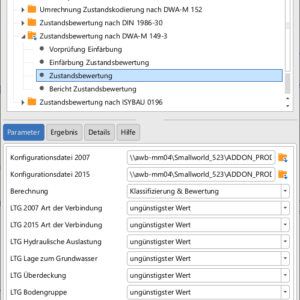
Condition Assessment Module in accordance with DWA-M 149-3
The DWA-M 149-3 Condition Assessment module enables the classification and assessment of the structural condition of sewer networks in accordance with the DWA-M 149-3 guidelines (November 2007 and April 2015 versions) directly within Smallworld GIS.Read more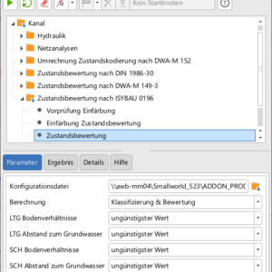
Condition Assessment Module in accordance with ISYBAU 0196
The ‘Condition Assessment according to ISYBAU 0196’ module for the Operation Analyser Wastewater enables the structural condition of sewer networks to be assessed reliably and efficiently within Smallworld GIS.Read more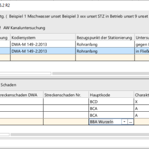
Condition Data Acquisition module in accordance with DWA-M 149-2
The DWA-M 149-2 Condition Data Acquisition module supports the documentation of the structural condition of the sewer network in accordance with the DWA-M 149-2 regulations (2006 and 2013 versions) directly within the Sewer module of Smallworld GIS.Read more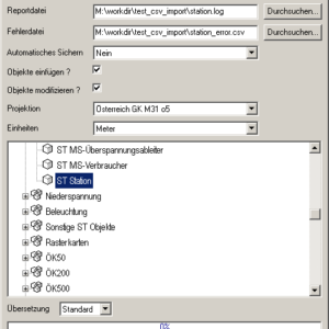
CSVI
GT CSVI provides an import interface for CSV data. In addition to standard imports, this also allows existing objects to be updated.Read more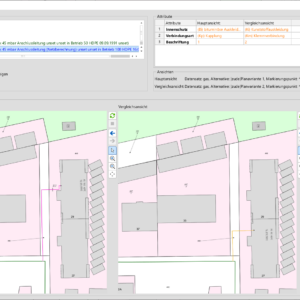
Delta Analyser
The Delta Analyser is a user-friendly tool for comparing database alternatives, enabling multiple users to document network changes independently and then merge them later in a simple and controlled manner.Read more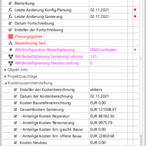
Demand Planning Module
The ‘Demand Planning’ module for the Sewerage module helps you create rehabilitation plans for sewer networks in accordance with DIN EN 14654-2:2013 and DWA-A 143-1:2015 directly within Smallworld GIS.Read more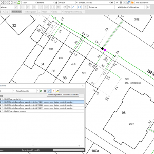
Dimension Helper
The ITS Dimension Helper product ensures the consistency of the status values of assets and their dimensions.Read more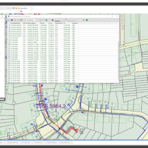
Direct Power Analysis
The ITS Direct Power Analysis (DPA) product provides power network calculation functions directly within Smallworld GIS. With the DPA Planning Assistant add-on, various network expansion scenarios can be simulated and calculated.Read more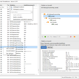
DWA-M-150 Interface
The DWA-M-150 Interface facilitates data exchange between the sewer module of Smallworld GIS and the TV inspection system in accordance with the DWA-M 150:2010 standard.Read more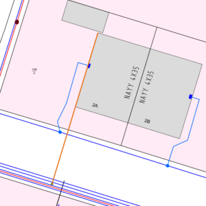
Easy Keys
With the Easy Keys product, you can continue and create drawings at the touch of a button: nearly 50 keyboard shortcuts are available for frequently used functions, significantly speeding up the process of creating and continuing drawings. Using these shortcuts...Read more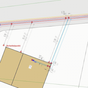
Easy Moving
The Easy Moving product is designed to assist you whenever adjustments to the location data in your database are required, but a complete standardisation is not necessary – for example, following an ALKIS update.Read more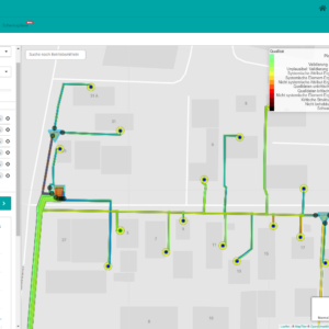
envelioConnect
The envelioConnect product provides power grid asset data from the Smallworld GIS, along with all topological information, to envelio’s Intelligent Grid Platform (IGP) for grid calculation. In this way, the interface facilitates the consolidation of all relevant data into a...Read more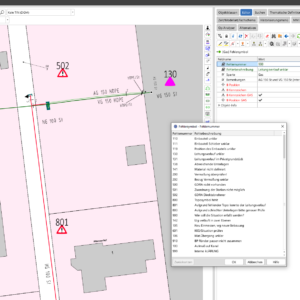
Error Symbol
The product Error Symbol helps in large-scale data collection and maintenance projects by providing a simple visual representation of the network conditions that need to be checked.Read more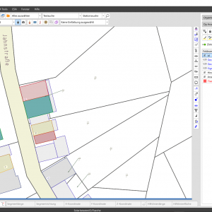
FlexConnect
The FlexConnect product connects your GIS to adjacent systems and enables the simple and efficient display of external geodata within the GIS without the need for physical import or export. For certain formats, it is also possible to edit the...Read more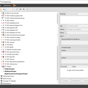
Formal Review
The Formal Review ensures the plausibility of data at the database level, thereby preventing data errors from occurring even before the data is inserted into the database – both during manual data operations and via interfaces such as imports and...Read more
FS Cadastre DKM
Data model, import and analysis functionality for official Austrian cadastral data.Read more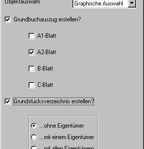
FS Land Register GDB
Data model for mapping the Austrian Land RegisterRead more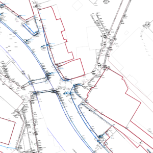
FS Natural Stock
Data model for mapping all topographical data relevant to utilities and waste management for the ON-A2260Read more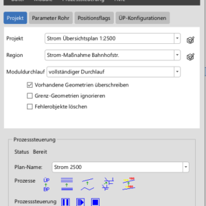
GeNSI®
The ITS GeNSI® product enables the derivation of a generalised representation of map sheets. The product is used, for example, in the creation and updating of overview maps.Read more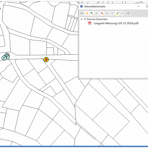
Geopicture Sync
ITS Geopicture Sync is a tool for importing georeferenced images into Smallworld GIS. The WGS84 coordinates are extracted from the image properties, and for each georeferenced image, an object is created in SW GIS and the image is attached as...Read more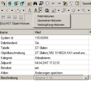
Historisation
GT Historisation records all changes made to any database object. This means that all modifications can be fully reconstructed.Read more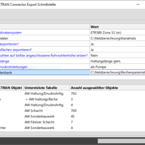
HYSTEM-EXTRAN Connector
The HYSTEM-EXTRAN Connector product facilitates the necessary data exchange between the Smallworld Sewer Module and HYSTEM-EXTRAN for carrying out hydrodynamic sewer network calculations.Read more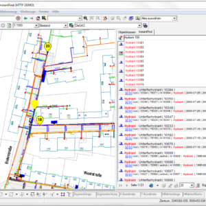
Instant Find
‘Googling’ for Smallworld data and documentsRead more
ISYBAU 0196 Interface
The ISYBAU 0196 Interface supports data export and import to the sewer module of Smallworld GIS for data exchange with video inspection equipment.Read more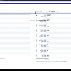
ITS Business Interlink (IBI)
The ITS Business Interlink (IBI) is an open platform for integrating data into business and technical applications. Building on this, IBI supports cross-application business processes.Read more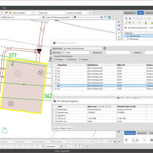
ITS Business Interlink LIFECYCLE (IBI Lifecycle)
ITS Business Interlink LIFECYCLE (IBI Lifecycle) extends the successful IBI integration platform to include the archiving of geodata from the Smallworld GIS.Read more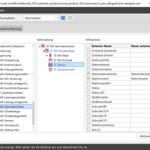
Join Designer
The Join Designer tool allows you to display attributes of relationally linked objects directly in the object editor, in addition to the standard attributes of an asset.Read more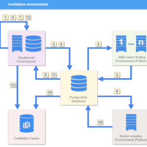
LEHO Telecommunications
ITS LEHO Telecommunications (as an add-on to LeHo Basis)Read more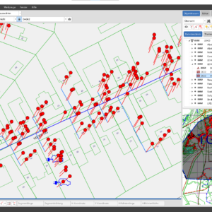
LEHO®
The ITS LEHO® product enables the automated re-alignment of an entire pipeline network, ensuring that the position of the infrastructure remains referenced to the base map when changes are made to the base map.Read more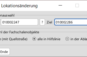
Location Tool
The "ITS Location Tool" product helps to keep locations up to date in customer models, for example in the event of municipal mergers or street renaming.Read more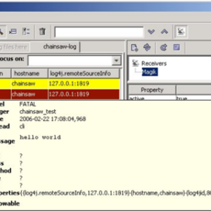
log4magik Logging Framework
Logging framework for monitoring Smallworld servers and outputting Smallworld system and application messages in accordance with the log4j standardRead more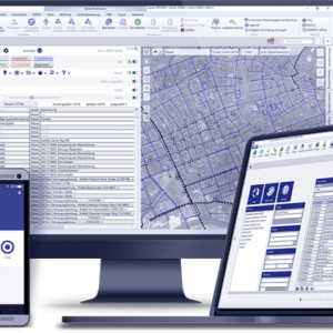
Lovion
Building on the asset data documented in the GIS, the Lovion BIS offers modular software solutions for the digitalisation of the core technical and cross-functional processes of network and facility operators. The central task management process acts as a link...Read more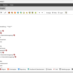
Lovion Smallworld Connect
The Smallworld product ITS Lovion Smallworld Connect enables data to be exchanged between Lovion and the Smallworld GIS.Read more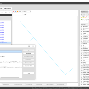
Lovion SOM
The ITS Lovion SOM product enables Lovion datasets (including information on damage, service interruptions and construction works) to be easily integrated into Smallworld GIS.Read more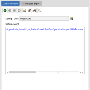
LuxBase Interface
The ITS LuxBase interface enables data exchange between LuxBase and Smallworld GIS.Read more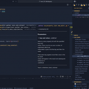
Magik VS Code
Magik VS Code is an extension for the modular Visual Studio Code editor. It is a developer tool for Smallworld GIS 5 that assists with coding by providing code suggestions for methods, variables and more. It also simplifies development by...Read more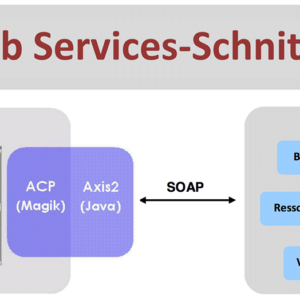
Magik Web Service Interface
The ITS Web Services interface provides a generic solution for accessing web services. The interface supports the cornerstones of web service architecture: communication (SOAP) and interface description (WSDL). The necessary Magik classes are automatically generated using code generation.Read more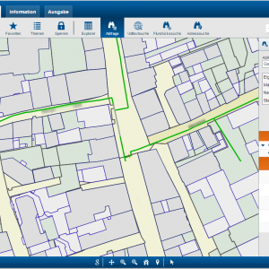
MGC Information
The MGC product portfolio offers a wide range of web and offline applications for all aspects of user-friendly GIS information retrieval.Read more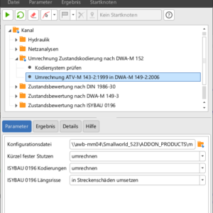
Module: Conversion of status coding in accordance with DWA-M 152
The ‘Conversion of Condition Coding to DWA-M 152’ module supports the conversion of descriptions of the structural condition of sewer networks in accordance with ATV-M 143-2:1999 into descriptions in accordance with DWA-M 149-2:2006, as specified in DWA-M 152:2009, directly within...Read more
Module: Inspection Graphics+
The Inspection Graphics+ module expands the status report on connections and service pipes in the Sewer module and enables the creation of a clear, to-scale investigation diagram in accordance with DWA-M 149-5.Read more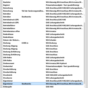
Multi Object Editor
The Multi Object Editor allows you to modify the attributes of any selection of objects in Smallworld GIS simultaneously. This makes bulk editing of object data in the GIS quick and easy.Read more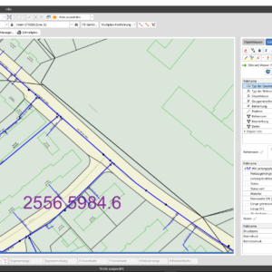
Multi-Plan
The ITS Multi-Plan product allows you to manage additional geometric planes for specialist modules and any other data models.Read more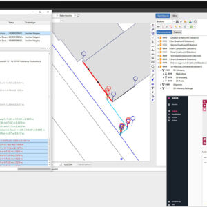
NAVA Interface
The NAVA interface is a convenient way to transfer house connection data, measured using the NAVA app on a smartphone, to the GIS in real time: whilst the trench is still open, the house connection measurements are sent directly to...Read more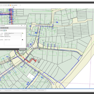
Neplan Interface
The ITS Neplan Interface product is used to export power grid topology data from Smallworld for import into the Neplan grid calculation software.Read more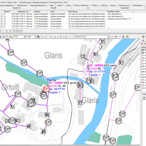
netPlanning
Automated FTTH planning based on SmallworldRead more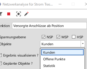
Network Analyses
GT Network Analyses provide the network analyses required for many processes. Whether it is identifying the object supplying a network section, determining the nearest point of disconnection, or finding alternative supply routes – these analyses are pre-configured and can be...Read more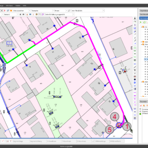
Operation Analyser
The Operation Analyser provides user-friendly analyses with graphical results for network operations. With just two clicks, you can, for example, identify the nearest switching point, a substation’s feed-in points or unsupplied connections.Read more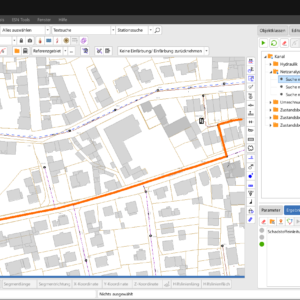
Operation Analyser Wastewater
The Operation Analyser Wastewater module provides specialist analyses of the sewer network and serves as the foundation for a range of more complex topics, such as condition assessment, which are handled using additional modules.Read more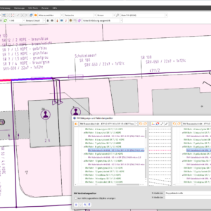
Pipe Management Data Entry Module
The ‘Pipe Management Data Entry’ module is a valuable addition to Smallworld Pipe Management. In addition to the enhanced connection and occupancy editor, it offers a range of useful functions, particularly for simplifying data entry.Read more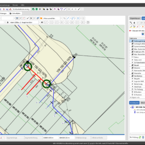
Pipe Network Analysis
The ITS Pipeline Network Analysis product comprises the core modules "Pipeline Network Analyser", "Pipeline Network Colouring Tool" and "Pipeline Network Statistics" for the evaluation and analysis of gas and water networks.Read more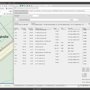
Power Analysis
The ITS Power Analysis product comprises two core modules, the "Power Flow Analyser" and the "Circuit Colouring Tool", for the evaluation and analysis of power grids.Read more
PowerFactory Interface
The ITS Powerfactory Interface product is used to export power grid topology data from Smallworld for import into the Powerfactory grid calculation software.Read more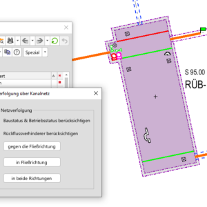
Pressure Drainage Systems module
The Pressure Drainage Systems module supports the detailed documentation of sewer networks operated using vacuum or pressure drainage systems. This module enables the specific characteristics of these sewer networks to be recorded and displayed within the Sewer module.Read more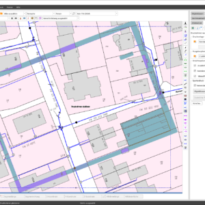
Print & Go
Print & Go is the go-to choice in the Smallworld environment when it comes to easily outputting plans as PDF prints. It neatly combines all the key print and plot functions in a single dialogue box. Printing in Smallworld couldn’t...Read more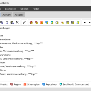
PSI Interface
The ITS PSI Interface product enables the exchange of data between the Smallworld GIS and the PSI control system.Read more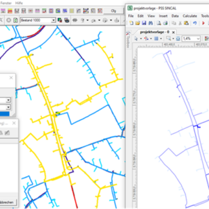
PSS®SINCAL Interface
The PSS®SINCAL interface processes and exports the power data documented in Smallworld GIS for use in PSS®SINCAL calculations, thereby avoiding duplicate data storage, speeding up calculations and improving efficiency. The results are interpreted and utilised further directly within SINCAL, making...Read more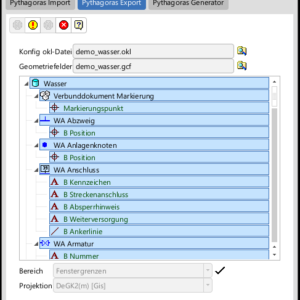
Pythagoras Interface
The ITS Pythagoras Interface product enables the exchange of data between Smallworld GIS and Pythagoras CAD.Read more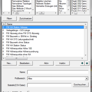
QS Quality Assurance
The quality assurance module checks the integrity, plausibility and consistency of GIS data based on object queries or proprietary methods, and can, if required, automatically correct identified errors or generate action lists for manual rectification.Read more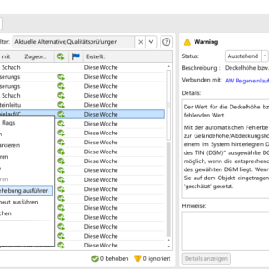
Quality Assurance module in accordance with DWA-M 145-2
The Quality Assurance module in accordance with DWA-M 145-2 supports you in ensuring the quality of your data in the Sewerage module using preconfigured QA checks for the Smallworld Quality Manager, based on the DWA-M 145-2 standard, version 2019.Read more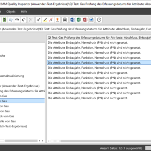
Quality Inspector
The Quality Inspector checks the integrity, plausibility and consistency of GIS data using a wide range of preconfigured tests: from topology checks and the completeness of attributes or relations to the identification of missing labels. The results are displayed in...Read more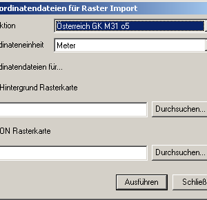
Raster
Tools for importing, cropping and transforming raster mapsRead more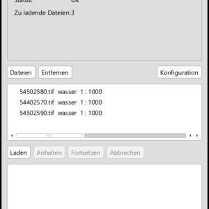
Raster Loader
The ITS Raster Loader is a tool that offers an efficient alternative to the conventional method of loading raster maps using the Raster Map Editor in Smallworld GIS.Read more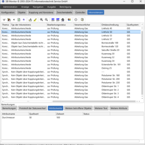
SBI Monitor
The ITS SBI Monitor product makes the integration of the Smallworld GIS and SAP systems transparent and configurable for the user.Read more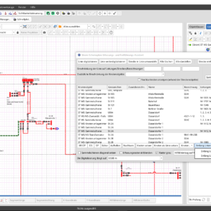
Schematics Assistant
The ITS Schematic Maps Assistant product supports the documentation of electrical schematic diagrams in Smallworld GIS. Its functions automate the creation and maintenance of schematic diagram content.Read more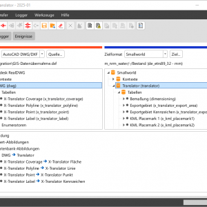
SEPM X-Translator
Efficient data import and export for Smallworld GIS – simple, fast and flexible. Supports leading GIS formats such as AutoCAD, ESRI, PostGIS, GeoJSON and many more.Read more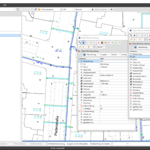
Simple Network Model
The ITS Simple Network Model (SNM) provides simple models that allow users to document additional small networks (either their own or third-party networks) in the inventory and overview plans within the Smallworld GIS database, in addition to the specialist modules.Read more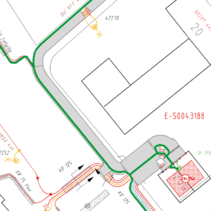
Single-line Module for NRM Electricity
The Single-line Module for NRM Electricity is the ideal addition for network operators who wish to document their electricity infrastructure in the form of routes, ensuring an accurate representation of the cable trench at all times. Using Smallworld NRM Electricity,...Read more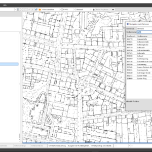
Smallworld Base Map (UBM)
The Smallworld Base Map (UBM) is a simple and compact base map solution for utility and waste management companies. In addition to cadastral data, the data model includes object classes for additional base map data and integrates seamlessly into the...Read more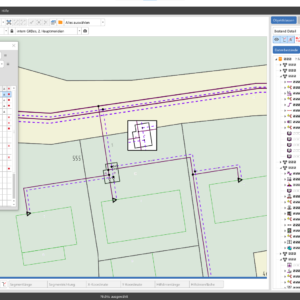
Smallworld NRM District Heating
NRM District Heating forms the basis for the documentation and analysis of district heating networks. A comprehensive data model enables a realistic representation of the infrastructure from the producer to the consumer.Read more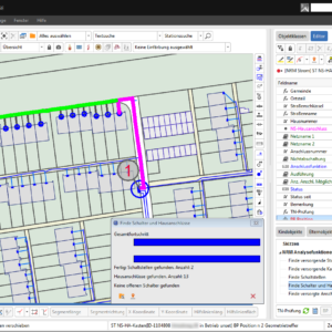
Smallworld NRM Electricity
Smallworld NRM Electricity provides the basis for the efficient documentation of complex electricity distribution networks, including their individual or parallel cable sections (multi-line representation). It maps the complete energy flow from centralised or decentralised grid feed-in points to consumption points,...Read more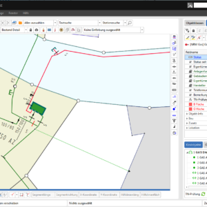
Smallworld NRM Gas
The Smallworld NRM Gas module forms the basis for the efficient documentation of complex gas distribution networks in accordance with DIN 2425. Just as in the real world, all equipment is documented along with its graphical and attribute characteristics, right...Read more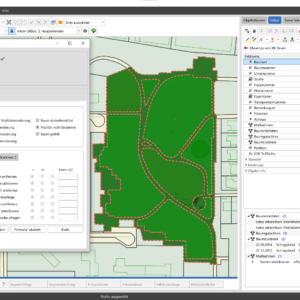
Smallworld NRM Tree/Green
The Trees and Green Spaces module forms the basis for the documentation, management and maintenance of a local authority’s tree populations and green spaces.Read more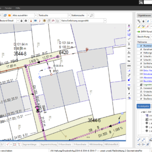
Smallworld NRM Wastewater
Smallworld NRM Wastewater maps the wastewater route from the connection points to the treatment plant. The data model is based on the requirements of the relevant EN, DIN and DWA standards and regulations for drainage systems outside buildings. It forms...Read more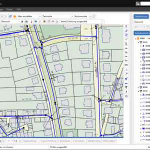
Smallworld NRM Water
Smallworld NRM Water provides the basis for the efficient documentation of complex water distribution networks in accordance with industry standards. As in the real world, a structured classification by pipe type is carried out. All relevant components of the water...Read more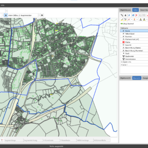
Smallworld NRM: Small-scale Structure
The 'Small-Scale Structure' module forms the basis for documenting a city’s small-scale street and block structure.Read more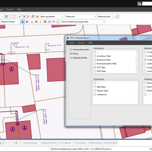
Smallworld Pipe Management
The Smallworld Pipe Management module enables the flexible documentation of empty conduit networks for fibre-optic networks and other media in the form of routes, conduits and cables via a pipe-in-pipe recording system. When used in conjunction with the standard modules...Read more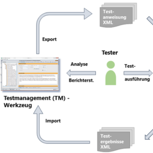
Smallworld Test Automation Framework
Efficient, repeatable software testing, from system testing through to acceptance testing.Read more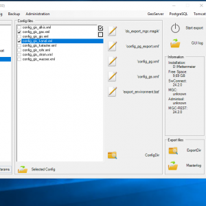
Smallworld Warehouse Connect
The Smallworld Warehouse Connect product is a key component in the provision of Smallworld data within a data warehouse, for example for use in web and offline enquiries or as a WMS service for other web applications.Read more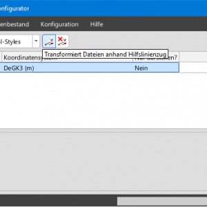
SOMS Transform
ITS SOMS Transform enables the retroactive fitting of an external dataset using known control points.Read more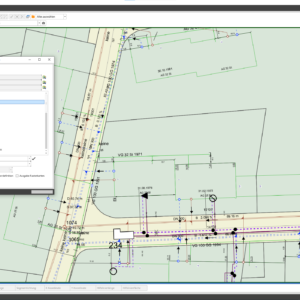
Stanet Interface
The ITS Stanet Interface product is used to provide data from the Smallworld GIS system to the STANET system.Read more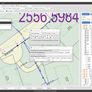
Structural Dimensioning
With the ITS Structural Dimensioning product, dimensions can be recorded in Smallworld GIS far more efficiently. The simplified data model is optimised for the exchange of dimensioning information.Read more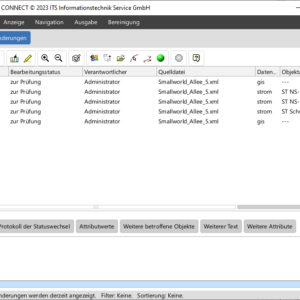
SURVEY Connect
The ITS SURVEY CONNECT product is an interface for importing survey results from the Lovion SURVEY app into Smallworld GISRead more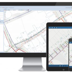
SWeb
SWeb is the web client for Smallworld GIS. Based on GSS, the continuously evolving foundation for Smallworld web services, SWeb makes a large part of the GIS client functionality available within a web browser. This includes queries, analyses and plotting,...Read more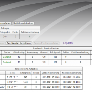
SWebServer
The SWebServer offers an alternative for deploying the GeoSpatialServer. Unlike Kubernetes, it uses a simpler web server technology – this simplifies the installation and operation of the GSS, particularly in smaller IT environments.Read more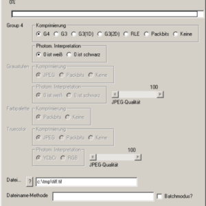
TIFF Unloader
The TIFF exporter allows Smallworld rasters to be exported as TIFF files. The format of the exported files complies with version 5 of the TIFF standard.Read more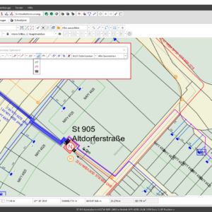
Toolbox Data Collection
The ITS Toolbox includes a wide range of functions that simplify data collection and maintenance in Smallworld GIS, such as the ITS Geometry Optimizer and the ITS Desktop Saver.Read more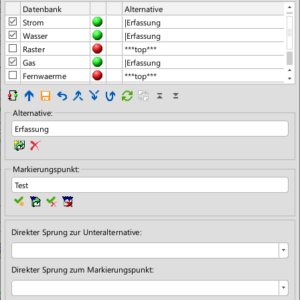
Toolbox DB
The ITS Toolbox-DB contains functions for the efficient management of databases and alternatives in Smallworld GIS. These include the ITS Alternative Manager and the ITS Alternative Comparison tool.Read more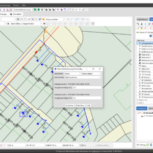
Toolbox Electricity
The ITS Toolbox Electricity includes features for efficient maintenance and data analysis within the Mehrstrich Electricity module, with enhanced switch functions and route targets, as well as statistics on electrical equipmentRead more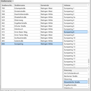
Toolbox Navigation
The ITS Toolbox Navigation brings together a range of tools that enable quick and easy navigation within Smallworld GIS.Read more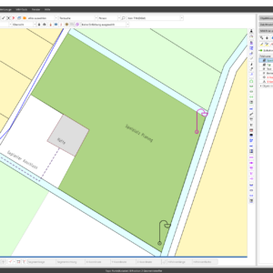
Topography Professional
Topography Professional enables the documentation of any topographical features as supplements to the geodatabase (official cadastral database) when documenting assets in the GIS.Read more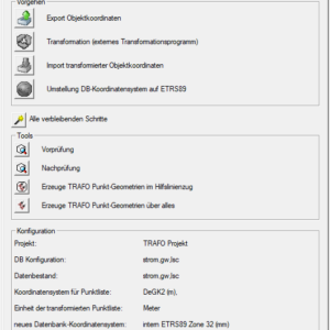
Trafo 89
The ITS Trafo 89 product is used to convert coordinates in the Smallworld GIS databases to the ETRS89 reference frame, by linking to external official transformation programmes provided by the land registry.Read more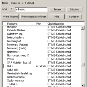
UDO
The GT UDO is a tool for modifying bulk data. It allows you to change the attributes of multiple objects – including those of different object classes – in a single editing step. In addition, specific methods can be executed...Read more
Webcase
Webcase enables the integration of any web data into Smallworld GISRead more
3D Importer
Use survey results directly in GIS: With the 3D Importer, you can easily and conveniently import and visualise survey data, including Z-values, in Smallworld GIS.Read more3D Network Model
Using the 3D network model, you can create and visualise a three-dimensional model of your network directly within Smallworld GIS, based on technical layer data and a digital terrain model, and navigate through it interactively. Visualising the actual location of...Read moreactivity!manager
The GE Smallworld GIS component activity!manager enables the simple spatial management, planning and analysis of maintenance, design and construction projects.Read moreAddresses
Data model for mapping the Austrian address structureRead moreASKO Loader
Using the ITS ASKO Loader product, GIS objects can be generated by importing ASCII coordinate lists through a simple configuration process.Read moreAssetFinder
With the help of the Asset Finder tool, searching for assets in Smallworld GIS has never been easier, whether you’re a casual user or a GIS expert.Read moreAutomatisation
GT Automatisation enables the scheduled launch of any Magik functions, such as data synchronisation with third-party systems, quality assurance runs, plot generation, etc.Read moreCable Scout Interface
The ITS Cable-Scout Interface product is designed for companies that map the structure of their telecommunications networks in Cable-Scout and their locations in Smallworld GIS.Read moreCircuit Diagram Generator
The ITS Circuit Diagram Generator product automatically generates the circuit diagrams required for power network documentation within Smallworld GIS. A circuit diagram is an internal representation of the equipment relevant to the network configuration, including that found in substations, distribution...Read moreCOMIT
Migration of data within a single Smallworld database or between different Smallworld databases.Read moreCondition Assessment Module in accordance with DIN 1986-30
The Condition Assessment module in accordance with DIN 1986-30 supports the classification and prioritisation of the structural condition of ground drainage systems in accordance with DIN 1986-30 (February 2012) directly within Smallworld GIS.Read moreCondition Assessment Module in accordance with DWA-M 149-3
The DWA-M 149-3 Condition Assessment module enables the classification and assessment of the structural condition of sewer networks in accordance with the DWA-M 149-3 guidelines (November 2007 and April 2015 versions) directly within Smallworld GIS.Read moreCondition Assessment Module in accordance with ISYBAU 0196
The ‘Condition Assessment according to ISYBAU 0196’ module for the Operation Analyser Wastewater enables the structural condition of sewer networks to be assessed reliably and efficiently within Smallworld GIS.Read moreCondition Data Acquisition module in accordance with DWA-M 149-2
The DWA-M 149-2 Condition Data Acquisition module supports the documentation of the structural condition of the sewer network in accordance with the DWA-M 149-2 regulations (2006 and 2013 versions) directly within the Sewer module of Smallworld GIS.Read moreCSVI
GT CSVI provides an import interface for CSV data. In addition to standard imports, this also allows existing objects to be updated.Read moreDelta Analyser
The Delta Analyser is a user-friendly tool for comparing database alternatives, enabling multiple users to document network changes independently and then merge them later in a simple and controlled manner.Read moreDemand Planning Module
The ‘Demand Planning’ module for the Sewerage module helps you create rehabilitation plans for sewer networks in accordance with DIN EN 14654-2:2013 and DWA-A 143-1:2015 directly within Smallworld GIS.Read moreDimension Helper
The ITS Dimension Helper product ensures the consistency of the status values of assets and their dimensions.Read moreDirect Power Analysis
The ITS Direct Power Analysis (DPA) product provides power network calculation functions directly within Smallworld GIS. With the DPA Planning Assistant add-on, various network expansion scenarios can be simulated and calculated.Read moreDWA-M-150 Interface
The DWA-M-150 Interface facilitates data exchange between the sewer module of Smallworld GIS and the TV inspection system in accordance with the DWA-M 150:2010 standard.Read moreEasy Keys
With the Easy Keys product, you can continue and create drawings at the touch of a button: nearly 50 keyboard shortcuts are available for frequently used functions, significantly speeding up the process of creating and continuing drawings. Using these shortcuts...Read moreEasy Moving
The Easy Moving product is designed to assist you whenever adjustments to the location data in your database are required, but a complete standardisation is not necessary – for example, following an ALKIS update.Read moreenvelioConnect
The envelioConnect product provides power grid asset data from the Smallworld GIS, along with all topological information, to envelio’s Intelligent Grid Platform (IGP) for grid calculation. In this way, the interface facilitates the consolidation of all relevant data into a...Read moreError Symbol
The product Error Symbol helps in large-scale data collection and maintenance projects by providing a simple visual representation of the network conditions that need to be checked.Read moreFlexConnect
The FlexConnect product connects your GIS to adjacent systems and enables the simple and efficient display of external geodata within the GIS without the need for physical import or export. For certain formats, it is also possible to edit the...Read moreFormal Review
The Formal Review ensures the plausibility of data at the database level, thereby preventing data errors from occurring even before the data is inserted into the database – both during manual data operations and via interfaces such as imports and...Read moreFS Cadastre DKM
Data model, import and analysis functionality for official Austrian cadastral data.Read moreFS Land Register GDB
Data model for mapping the Austrian Land RegisterRead moreFS Natural Stock
Data model for mapping all topographical data relevant to utilities and waste management for the ON-A2260Read moreGeNSI®
The ITS GeNSI® product enables the derivation of a generalised representation of map sheets. The product is used, for example, in the creation and updating of overview maps.Read moreGeopicture Sync
ITS Geopicture Sync is a tool for importing georeferenced images into Smallworld GIS. The WGS84 coordinates are extracted from the image properties, and for each georeferenced image, an object is created in SW GIS and the image is attached as...Read moreHistorisation
GT Historisation records all changes made to any database object. This means that all modifications can be fully reconstructed.Read moreHYSTEM-EXTRAN Connector
The HYSTEM-EXTRAN Connector product facilitates the necessary data exchange between the Smallworld Sewer Module and HYSTEM-EXTRAN for carrying out hydrodynamic sewer network calculations.Read moreInstant Find
‘Googling’ for Smallworld data and documentsRead moreISYBAU 0196 Interface
The ISYBAU 0196 Interface supports data export and import to the sewer module of Smallworld GIS for data exchange with video inspection equipment.Read moreITS Business Interlink (IBI)
The ITS Business Interlink (IBI) is an open platform for integrating data into business and technical applications. Building on this, IBI supports cross-application business processes.Read moreITS Business Interlink LIFECYCLE (IBI Lifecycle)
ITS Business Interlink LIFECYCLE (IBI Lifecycle) extends the successful IBI integration platform to include the archiving of geodata from the Smallworld GIS.Read moreJoin Designer
The Join Designer tool allows you to display attributes of relationally linked objects directly in the object editor, in addition to the standard attributes of an asset.Read moreLEHO Telecommunications
ITS LEHO Telecommunications (as an add-on to LeHo Basis)Read moreLEHO®
The ITS LEHO® product enables the automated re-alignment of an entire pipeline network, ensuring that the position of the infrastructure remains referenced to the base map when changes are made to the base map.Read moreLocation Tool
The "ITS Location Tool" product helps to keep locations up to date in customer models, for example in the event of municipal mergers or street renaming.Read morelog4magik Logging Framework
Logging framework for monitoring Smallworld servers and outputting Smallworld system and application messages in accordance with the log4j standardRead moreLovion
Building on the asset data documented in the GIS, the Lovion BIS offers modular software solutions for the digitalisation of the core technical and cross-functional processes of network and facility operators. The central task management process acts as a link...Read moreLovion Smallworld Connect
The Smallworld product ITS Lovion Smallworld Connect enables data to be exchanged between Lovion and the Smallworld GIS.Read moreLovion SOM
The ITS Lovion SOM product enables Lovion datasets (including information on damage, service interruptions and construction works) to be easily integrated into Smallworld GIS.Read moreLuxBase Interface
The ITS LuxBase interface enables data exchange between LuxBase and Smallworld GIS.Read moreMagik VS Code
Magik VS Code is an extension for the modular Visual Studio Code editor. It is a developer tool for Smallworld GIS 5 that assists with coding by providing code suggestions for methods, variables and more. It also simplifies development by...Read moreMagik Web Service Interface
The ITS Web Services interface provides a generic solution for accessing web services. The interface supports the cornerstones of web service architecture: communication (SOAP) and interface description (WSDL). The necessary Magik classes are automatically generated using code generation.Read moreMGC Information
The MGC product portfolio offers a wide range of web and offline applications for all aspects of user-friendly GIS information retrieval.Read moreModule: Conversion of status coding in accordance with DWA-M 152
The ‘Conversion of Condition Coding to DWA-M 152’ module supports the conversion of descriptions of the structural condition of sewer networks in accordance with ATV-M 143-2:1999 into descriptions in accordance with DWA-M 149-2:2006, as specified in DWA-M 152:2009, directly within...Read moreModule: Inspection Graphics+
The Inspection Graphics+ module expands the status report on connections and service pipes in the Sewer module and enables the creation of a clear, to-scale investigation diagram in accordance with DWA-M 149-5.Read moreMulti Object Editor
The Multi Object Editor allows you to modify the attributes of any selection of objects in Smallworld GIS simultaneously. This makes bulk editing of object data in the GIS quick and easy.Read moreMulti-Plan
The ITS Multi-Plan product allows you to manage additional geometric planes for specialist modules and any other data models.Read moreNAVA Interface
The NAVA interface is a convenient way to transfer house connection data, measured using the NAVA app on a smartphone, to the GIS in real time: whilst the trench is still open, the house connection measurements are sent directly to...Read moreNeplan Interface
The ITS Neplan Interface product is used to export power grid topology data from Smallworld for import into the Neplan grid calculation software.Read morenetPlanning
Automated FTTH planning based on SmallworldRead moreNetwork Analyses
GT Network Analyses provide the network analyses required for many processes. Whether it is identifying the object supplying a network section, determining the nearest point of disconnection, or finding alternative supply routes – these analyses are pre-configured and can be...Read moreOperation Analyser
The Operation Analyser provides user-friendly analyses with graphical results for network operations. With just two clicks, you can, for example, identify the nearest switching point, a substation’s feed-in points or unsupplied connections.Read moreOperation Analyser Wastewater
The Operation Analyser Wastewater module provides specialist analyses of the sewer network and serves as the foundation for a range of more complex topics, such as condition assessment, which are handled using additional modules.Read morePipe Management Data Entry Module
The ‘Pipe Management Data Entry’ module is a valuable addition to Smallworld Pipe Management. In addition to the enhanced connection and occupancy editor, it offers a range of useful functions, particularly for simplifying data entry.Read morePipe Network Analysis
The ITS Pipeline Network Analysis product comprises the core modules "Pipeline Network Analyser", "Pipeline Network Colouring Tool" and "Pipeline Network Statistics" for the evaluation and analysis of gas and water networks.Read morePower Analysis
The ITS Power Analysis product comprises two core modules, the "Power Flow Analyser" and the "Circuit Colouring Tool", for the evaluation and analysis of power grids.Read morePowerFactory Interface
The ITS Powerfactory Interface product is used to export power grid topology data from Smallworld for import into the Powerfactory grid calculation software.Read morePressure Drainage Systems module
The Pressure Drainage Systems module supports the detailed documentation of sewer networks operated using vacuum or pressure drainage systems. This module enables the specific characteristics of these sewer networks to be recorded and displayed within the Sewer module.Read morePrint & Go
Print & Go is the go-to choice in the Smallworld environment when it comes to easily outputting plans as PDF prints. It neatly combines all the key print and plot functions in a single dialogue box. Printing in Smallworld couldn’t...Read morePSI Interface
The ITS PSI Interface product enables the exchange of data between the Smallworld GIS and the PSI control system.Read morePSS®SINCAL Interface
The PSS®SINCAL interface processes and exports the power data documented in Smallworld GIS for use in PSS®SINCAL calculations, thereby avoiding duplicate data storage, speeding up calculations and improving efficiency. The results are interpreted and utilised further directly within SINCAL, making...Read morePythagoras Interface
The ITS Pythagoras Interface product enables the exchange of data between Smallworld GIS and Pythagoras CAD.Read moreQS Quality Assurance
The quality assurance module checks the integrity, plausibility and consistency of GIS data based on object queries or proprietary methods, and can, if required, automatically correct identified errors or generate action lists for manual rectification.Read moreQuality Assurance module in accordance with DWA-M 145-2
The Quality Assurance module in accordance with DWA-M 145-2 supports you in ensuring the quality of your data in the Sewerage module using preconfigured QA checks for the Smallworld Quality Manager, based on the DWA-M 145-2 standard, version 2019.Read moreQuality Inspector
The Quality Inspector checks the integrity, plausibility and consistency of GIS data using a wide range of preconfigured tests: from topology checks and the completeness of attributes or relations to the identification of missing labels. The results are displayed in...Read moreRaster
Tools for importing, cropping and transforming raster mapsRead moreRaster Loader
The ITS Raster Loader is a tool that offers an efficient alternative to the conventional method of loading raster maps using the Raster Map Editor in Smallworld GIS.Read moreSBI Monitor
The ITS SBI Monitor product makes the integration of the Smallworld GIS and SAP systems transparent and configurable for the user.Read moreSchematics Assistant
The ITS Schematic Maps Assistant product supports the documentation of electrical schematic diagrams in Smallworld GIS. Its functions automate the creation and maintenance of schematic diagram content.Read moreSEPM X-Translator
Efficient data import and export for Smallworld GIS – simple, fast and flexible. Supports leading GIS formats such as AutoCAD, ESRI, PostGIS, GeoJSON and many more.Read moreSimple Network Model
The ITS Simple Network Model (SNM) provides simple models that allow users to document additional small networks (either their own or third-party networks) in the inventory and overview plans within the Smallworld GIS database, in addition to the specialist modules.Read moreSingle-line Module for NRM Electricity
The Single-line Module for NRM Electricity is the ideal addition for network operators who wish to document their electricity infrastructure in the form of routes, ensuring an accurate representation of the cable trench at all times. Using Smallworld NRM Electricity,...Read moreSmallworld Base Map (UBM)
The Smallworld Base Map (UBM) is a simple and compact base map solution for utility and waste management companies. In addition to cadastral data, the data model includes object classes for additional base map data and integrates seamlessly into the...Read moreSmallworld NRM District Heating
NRM District Heating forms the basis for the documentation and analysis of district heating networks. A comprehensive data model enables a realistic representation of the infrastructure from the producer to the consumer.Read moreSmallworld NRM Electricity
Smallworld NRM Electricity provides the basis for the efficient documentation of complex electricity distribution networks, including their individual or parallel cable sections (multi-line representation). It maps the complete energy flow from centralised or decentralised grid feed-in points to consumption points,...Read moreSmallworld NRM Gas
The Smallworld NRM Gas module forms the basis for the efficient documentation of complex gas distribution networks in accordance with DIN 2425. Just as in the real world, all equipment is documented along with its graphical and attribute characteristics, right...Read moreSmallworld NRM Tree/Green
The Trees and Green Spaces module forms the basis for the documentation, management and maintenance of a local authority’s tree populations and green spaces.Read moreSmallworld NRM Wastewater
Smallworld NRM Wastewater maps the wastewater route from the connection points to the treatment plant. The data model is based on the requirements of the relevant EN, DIN and DWA standards and regulations for drainage systems outside buildings. It forms...Read moreSmallworld NRM Water
Smallworld NRM Water provides the basis for the efficient documentation of complex water distribution networks in accordance with industry standards. As in the real world, a structured classification by pipe type is carried out. All relevant components of the water...Read moreSmallworld NRM: Small-scale Structure
The 'Small-Scale Structure' module forms the basis for documenting a city’s small-scale street and block structure.Read moreSmallworld Pipe Management
The Smallworld Pipe Management module enables the flexible documentation of empty conduit networks for fibre-optic networks and other media in the form of routes, conduits and cables via a pipe-in-pipe recording system. When used in conjunction with the standard modules...Read moreSmallworld Test Automation Framework
Efficient, repeatable software testing, from system testing through to acceptance testing.Read moreSmallworld Warehouse Connect
The Smallworld Warehouse Connect product is a key component in the provision of Smallworld data within a data warehouse, for example for use in web and offline enquiries or as a WMS service for other web applications.Read moreSOMS Transform
ITS SOMS Transform enables the retroactive fitting of an external dataset using known control points.Read moreStanet Interface
The ITS Stanet Interface product is used to provide data from the Smallworld GIS system to the STANET system.Read moreStructural Dimensioning
With the ITS Structural Dimensioning product, dimensions can be recorded in Smallworld GIS far more efficiently. The simplified data model is optimised for the exchange of dimensioning information.Read moreSURVEY Connect
The ITS SURVEY CONNECT product is an interface for importing survey results from the Lovion SURVEY app into Smallworld GISRead moreSWeb
SWeb is the web client for Smallworld GIS. Based on GSS, the continuously evolving foundation for Smallworld web services, SWeb makes a large part of the GIS client functionality available within a web browser. This includes queries, analyses and plotting,...Read moreSWebServer
The SWebServer offers an alternative for deploying the GeoSpatialServer. Unlike Kubernetes, it uses a simpler web server technology – this simplifies the installation and operation of the GSS, particularly in smaller IT environments.Read moreTIFF Unloader
The TIFF exporter allows Smallworld rasters to be exported as TIFF files. The format of the exported files complies with version 5 of the TIFF standard.Read moreToolbox Data Collection
The ITS Toolbox includes a wide range of functions that simplify data collection and maintenance in Smallworld GIS, such as the ITS Geometry Optimizer and the ITS Desktop Saver.Read moreToolbox DB
The ITS Toolbox-DB contains functions for the efficient management of databases and alternatives in Smallworld GIS. These include the ITS Alternative Manager and the ITS Alternative Comparison tool.Read moreToolbox Electricity
The ITS Toolbox Electricity includes features for efficient maintenance and data analysis within the Mehrstrich Electricity module, with enhanced switch functions and route targets, as well as statistics on electrical equipmentRead moreToolbox Navigation
The ITS Toolbox Navigation brings together a range of tools that enable quick and easy navigation within Smallworld GIS.Read moreTopography Professional
Topography Professional enables the documentation of any topographical features as supplements to the geodatabase (official cadastral database) when documenting assets in the GIS.Read moreTrafo 89
The ITS Trafo 89 product is used to convert coordinates in the Smallworld GIS databases to the ETRS89 reference frame, by linking to external official transformation programmes provided by the land registry.Read moreUDO
The GT UDO is a tool for modifying bulk data. It allows you to change the attributes of multiple objects – including those of different object classes – in a single editing step. In addition, specific methods can be executed...Read moreWebcase
Webcase enables the integration of any web data into Smallworld GISRead more