Topography Professional
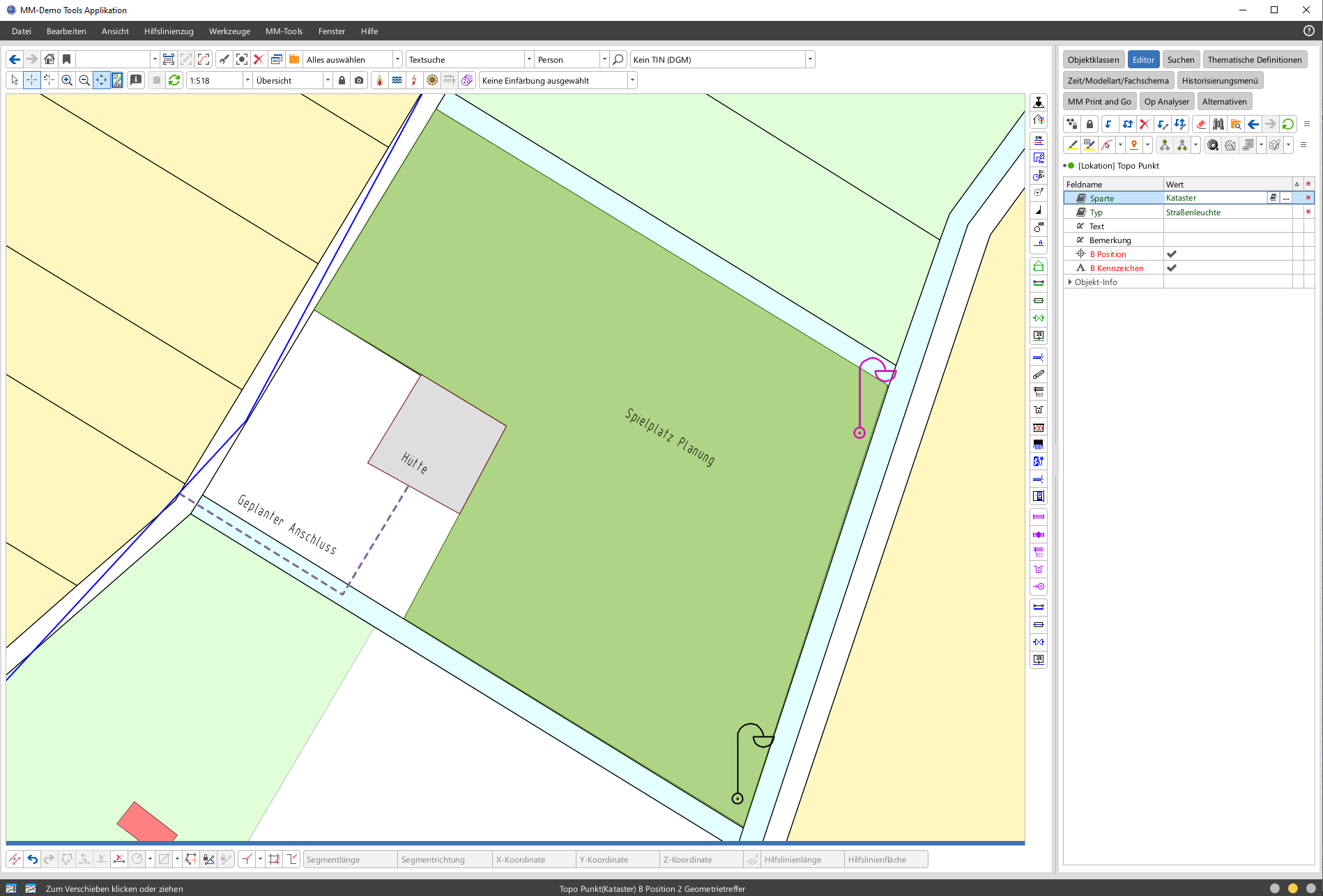
Topography Professional enables the documentation of any topographical features as supplements to the geodatabase (official cadastral database) when documenting assets in the GIS.
Topography Professional provides basic object classes for point, line and area objects for the capture of free-form topographical objects without reference to a specific feature layer; these classes include not only the corresponding geometries but also free attribute fields, and offer the following functions:
- Capture of any topographic objects in the GIS
- Independent of geodatabases or sector-specific data
- Centralised data repository for cross-sector use
- Catalogue-based type definition with customisable configuration
Additional information
| Systemvoraussetzung / System requirement | Smallworld 5.2.x, Smallworld 5.3.x |
|---|---|
| Sparten / Smallworld NRM | All utility data models (Smallworld NRM), NRM District Heating, NRM Electricity, NRM Gas, NRM Pipe Management, NRM Wastewater, NRM Water |
| Hersteller / Manufacturer | Mettenmeier |